Skip to content

Case Studies

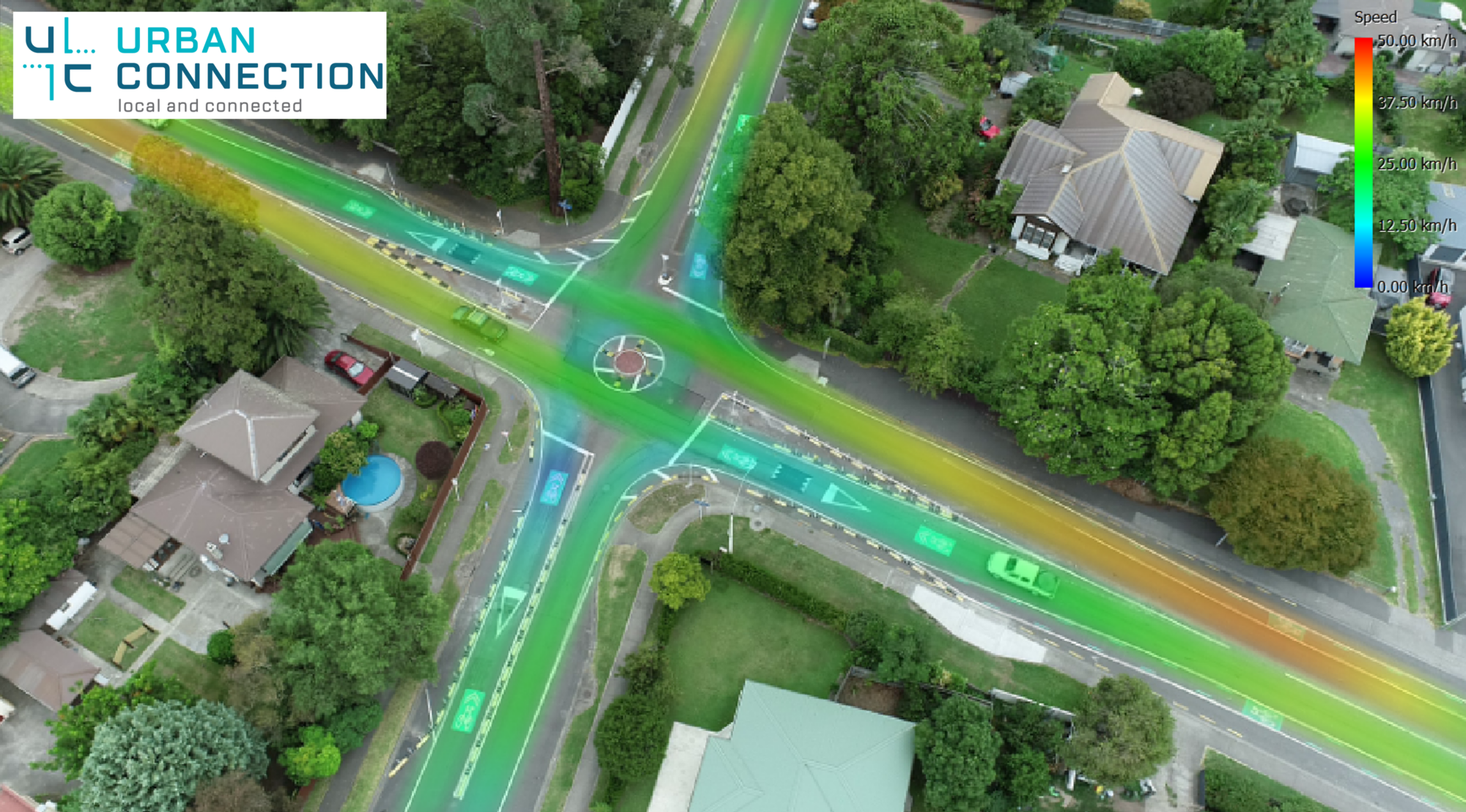
Heat map of vehicle paths at the Caroline Road / Frederick Street intersection

Caroline Road / Frederick Street Roundabout

Urban Connection was engaged in 2022 to undertake in investigation of the Caroline Road / Frederick Street intersection. This included UAV surveys for traffic counts, speed measurements and driver behaviour
continue reading >>
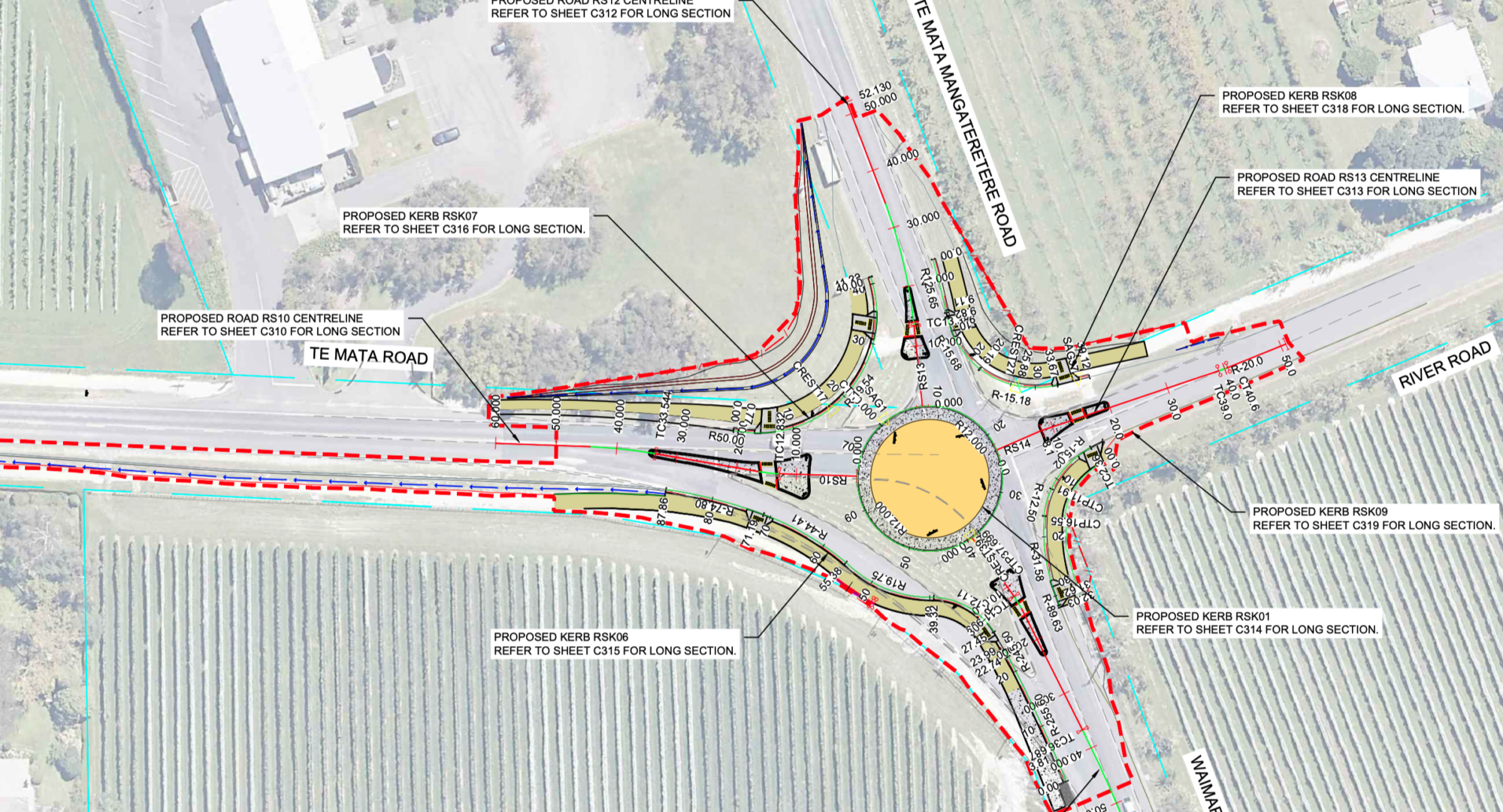
Roundabout concept design plan showing lane markings and kerb lines

Te Mata Road / Mangateretere Road Roundabout

Te Mata / Mangateretere Road Roundabout project is the conversion of a priority cross-roads intersection into a four-legged roundabout for Hastings District Council. The project involved the investigation and reporting
continue reading >>
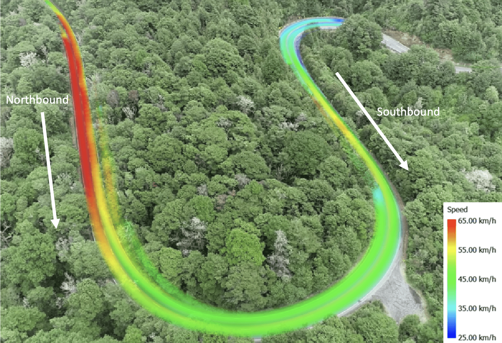
Speed heat map of vehicles through a rural state highway curve from a UAV survey

UAV Rural Curve Study

UCL were engaged to undertake an assessment of a rural state highway curve for Waka Kotahi. UCL were selected because of our unique ability to undertake a 4 hour UAV
continue reading >>
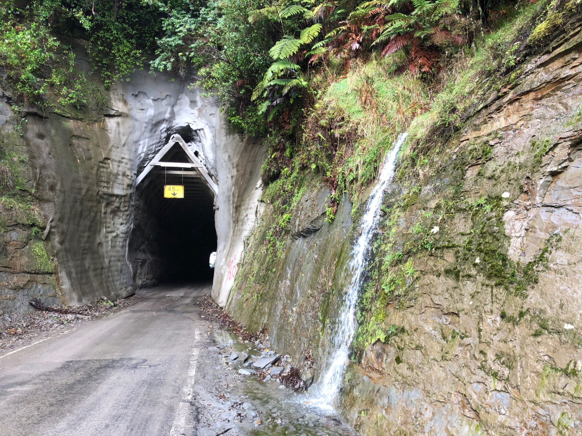
Single-lane tunnel and rock cutting on SH43, the Forgotten World Highway

SH43 Single Stage Detailed Business Case

SH43, commonly known as the ‘Forgotten World Highway, is approximately 150km in length connecting the Taranaki and Ruapehu Regions. Urban Connection was directly appointed to prepare a single stage detailed
continue reading >>