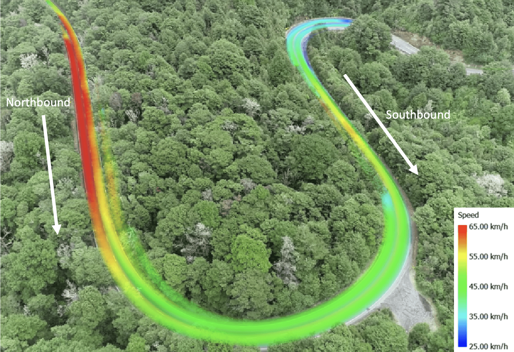
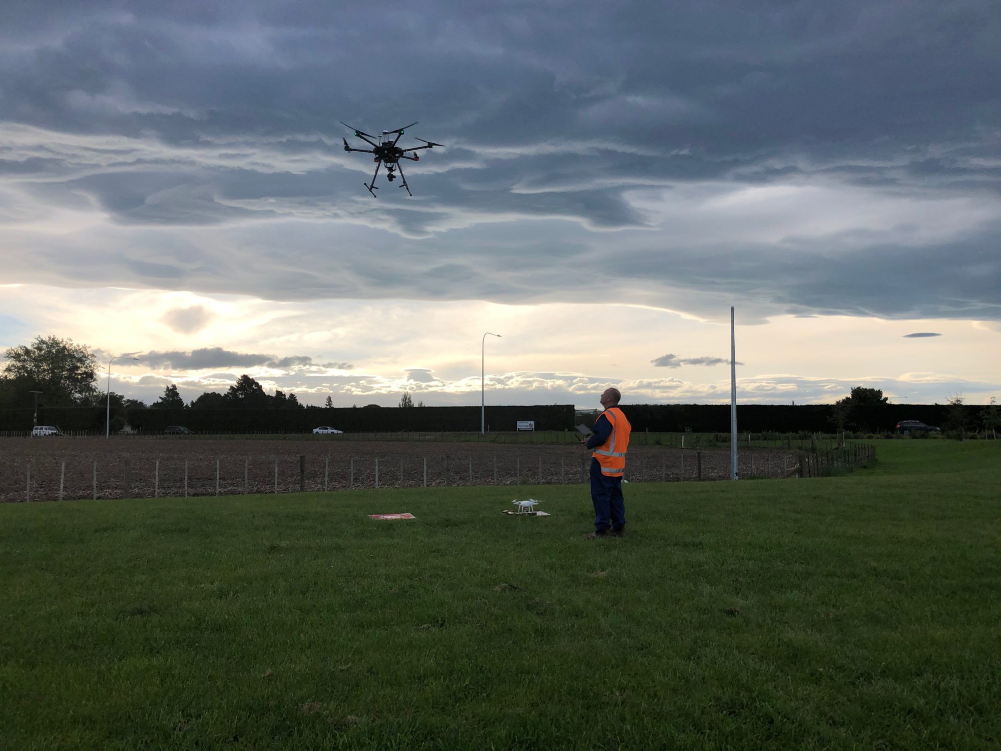
UCL were engaged to undertake an assessment of a rural state highway curve for Waka Kotahi. UCL were selected because of our unique ability to undertake a 4 hour UAV
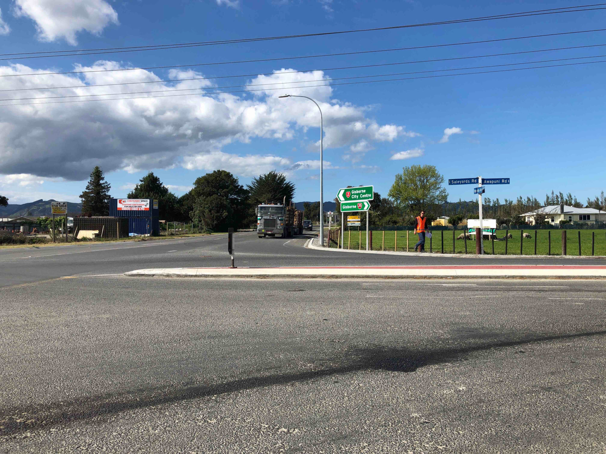
Waka Kotahi wished to develop a prioritised intersection safety programme across the Gisborne State Highway network, which would reflect the level of risk presented by each individual intersection. The programme
Our team was engaged to assess the efficiency and safety performance of this 5 legged dual lane roundabout. An understanding of entry and departure lanes, lane discipline, compliance with lane